

Description
High accuracy for survey & GIS applications
- Capable of delivering submeter to centimeter level positioning accuracy in real-time to suit any field data collection application.
- Achieve higher accuracy in real-time using correction sources from SBAS and VRS networks to Trimble RTX™ correction services*, delivered by either satellite or Internet, or via traditional RTK methods.
- Supports multiple satellite constellations and augmentation systems to provide maximum accuracy and positioning performance.
* Trimble RTX™ available through Trimble applications
Flexible solution
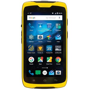
- Able to be paired with any mobile device on a variety of operating systems and platforms, from a Trimble handheld or controller to a modern smartphone or tablet.
- You can select the accuracy and GNSS performance level appropriate for your application.
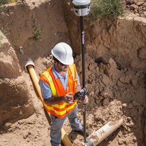
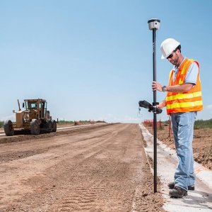
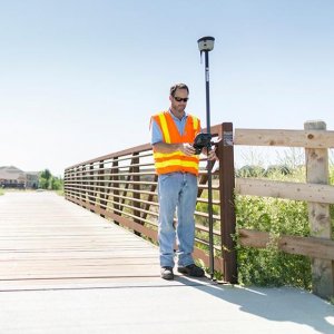
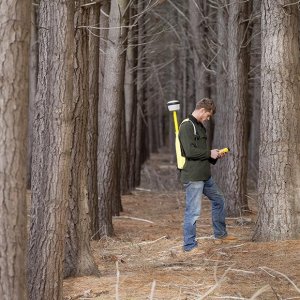
- Capable of being operated either mounted on a pole, on a backpack or on a vehicle.
- Integrates with Trimble software such as Trimble Access™, Trimble TerraFlex™ and Trimble Business Center to enable data to be easily collected, communicated and processed, providing you with high-quality deliverables for your organization.
Simple, rugged system
- One-button start up and compact, streamlined design enables a quick setup.
- Built to withstand tough conditions meeting military specifications MIL-810G for ruggedness and an IP65 rating.
Reviews
There are no reviews yet.